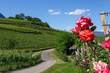
This small mountain bike route leads from Caldaro to the Monticolo Lakes in the municipality of Appiano
Image gallery: MTB tour through the Monticolo Forest
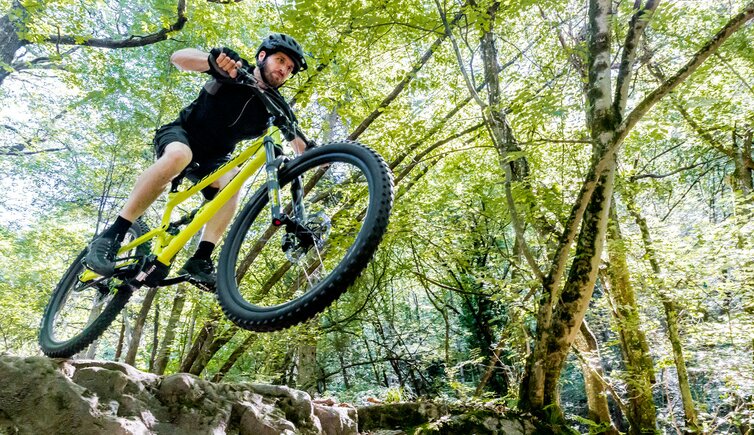
This small mountain bike route leads from Caldaro to the Monticolo Lakes in the municipality of Appiano.
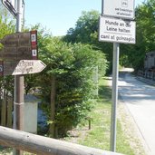
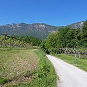
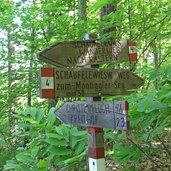
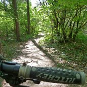
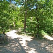
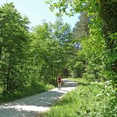
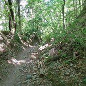
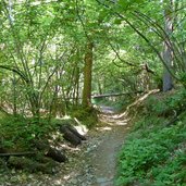
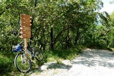
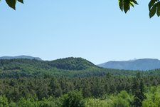
With less than 14 km in length ( there and back) and a difference in altitude of just 300 m, this tour offers variations of varying degrees of difficulty. It takes about 2 hours (including breaks to enjoy the panorama). We start on the Wine Road north of Caldaro, in front of the old steam engine of the former Oltradige Railway. Path no. 4 first leads steeply downhill into the Lavasontal valley and then climbs up into the Monticolo forest. If we follow the marker 4, the asphalt road changes into a forest path up to a narrow hiking trail and becomes quite bumpy in some sections. Alternatively, you can take the well-maintained gravel road, which is easier and also less steep.
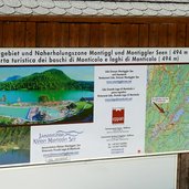
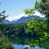
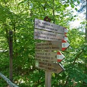
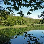
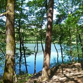
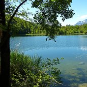
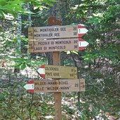
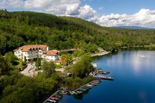
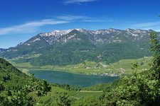
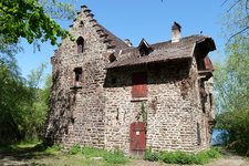
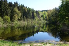
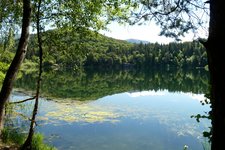
The first stage destination is the Big Monticolo Lake, which we reach after crossing the car park of Monticolo (Montiggl). After a short break we continue to the Little Monticolo Lake, which we bypass on the eastern and northern banks. The reflection of the sky, the forest and the mountains gives the natural waters a romantic touch. Following the sign "Radroute nach St. Michael Eppan", we take the well-trodden path towards north-west until we reach the crossroads with path no. 1, which we take towards "Wilder Mann". A few hundred metres further on we turn left into a stony descent that leads to Colterenzio.
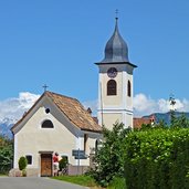
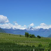
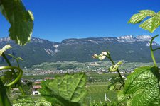
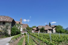
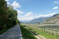
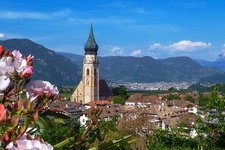
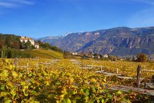
Once there, we find ourselves in a world-famous wine landscape. The view sweeps from the Mendola Ridge to the Merano Mountains and Bolzano, behind it the Dolomites. At the little church of Colterenzio we have reached our destination. The fastest way back to Caldaro is via Cornaiano to S. Michele and then along the Oltradige Cycle Path back to the steam locomotive.
Author: AT
-
- Starting point:
- Caldaro (old locomotive at Via delle Cantine)
-
- Time required:
- 01:10 h
-
- Track length:
- 11,3 km
-
- Altitude:
- from 364 m to 579 m
-
- Altitude difference:
- +312 m | -320 m
-
- Destination:
- Colterenzio (Schreckbichl), Cornaiano
-
- Track surface:
- mostly gravel road and forest roads, asphalt only in the first and last section
-
- Recommended time of year:
- Jan Feb Mar Apr May Jun Jul Aug Sep Oct Nov Dec
-
- Download GPX track:
- MTB tour through the Monticolo Forest
If you want to do this tour, we suggest you to check the weather and trail conditions in advance and on site before setting out.
