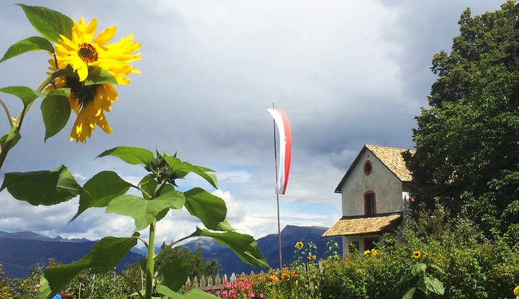
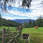
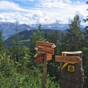
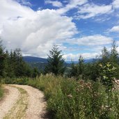
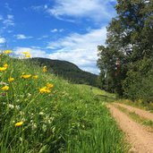
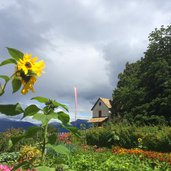
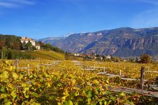
The little hiking area at Colle is very popular among peace seekers: It offers nearly no traffic and plenty of nature right next to Bolzano, South Tyrol’s capital
Image gallery: Hike around the Monte Pozza
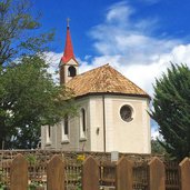
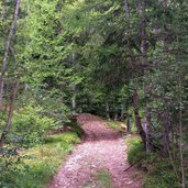
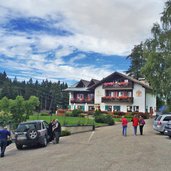
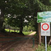
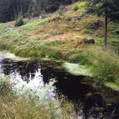
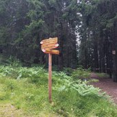
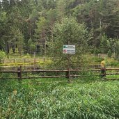
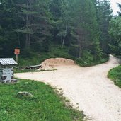
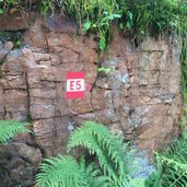
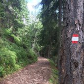
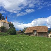
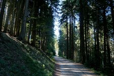
From the mountain station of the Colle Cable Car (1,110 m a.s.l.) we follow the markers no. 5 and then no. 1, which lead us to a little church and further to the Schneiderwiesen Tavern (1,360 m a.s.l.). Here we follow the forest path Klaus Alm (always marker no. 1) which proceeds first uphill and then slightly downhill to the biotope "Totes Moos", a little wetland at about 1,500 m asl. Here we follow the forest road Wolfstal which is also part of the European long-distance path E5.
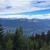
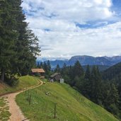
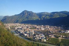
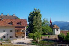
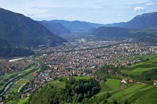
We enjoy a comfortable downhill walk past the Wolfstal Alm with the Val d’Ega valley and the Dolomites in the background. Before we finish our circular walk we pass the little hamlet of Colle dei Signori (Herrenkohlern) where a chapel and some beautiful mountain farms are located. During this walking tour, the wonderful woods above Bolzano and some interesting views can be enjoyed, for example towards the Mendola, Dolomites (Catinaccio and Sciliar), the Renon and from the cable car on the town of Bolzano.
Author: AT
-
- Starting point:
- Colle (mountain station of the cable car), parking space
-
- Time required:
- 03:00 h
-
- Track length:
- 10,2 km
-
- Altitude:
- from 1.106 m to 1.558 m
-
- Altitude difference:
- +449 m | -449 m
-
- Route:
- Colle (cable car station) - Schneiderwiesen - Totes Moos - Colle dei Signori - Colle (cable car station)
-
- Signposts:
- no. 1, E5
-
- Resting points:
- Schneiderwiesen
-
- Recommended time of year:
- Jan Feb Mar Apr May Jun Jul Aug Sep Oct Nov Dec
-
- Download GPX track:
- Hike around the Monte Pozza
If you want to do this hike, we suggest you to check the weather and trail conditions in advance and on site before setting out.
