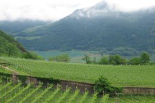
A detailed description and general information about the first stage of the tour from Egna to Sella
Image gallery: An artistic hike, stage 1: Egna - Sella
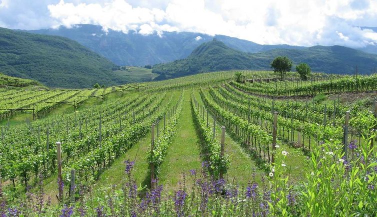
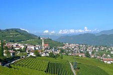
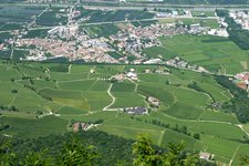
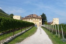
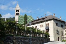
The best way to get from Egna (Neumarkt) to Termeno (Tramin) is by bus. On weekends and during public holidays however, it does not run frequently. If you take a taxi you will spend about 15 euros and by foot you will have to cover 4 km. At the train station of Egna we follow the signposts to Termeno. We pass the plant of the company Würth, then we take the pedestrian path and walk through the underpass. We continue walking straight ahead, this time on different meadow paths until we arrive at the village entrance of Termeno. During this walk you need to cross two drainage streams on the road. At the distillery Roner we continue to walk on the pedestrian path past the Roner and Psenner distilleries, where you can taste their spirits. After crossing the road we walk uphill to the beautiful centre of Termeno with its fig trees, oleanders and vines.
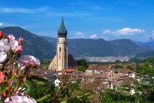
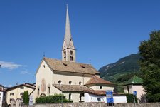
You should not miss a visit to the Chiesa Madre di S. Giacomo in Castellaz church. The path leads from the Townhall Square past the parish church into the Hans-Feur-Straße road, then left into the St.-Julitta-Alley and up to the small church (about 60 metres in altitude). In front of the church there is a small, pretty square with a fountain, roses and lavender. Right after the square you will have a beautiful view on the Oltradige and Lake Caldaro. We follow the signpost no. 10 first to the left and then to the right across a small brook and through a kind of tunnel, shaped by some vines, until we reach the path no. 10B. At a small crossroad we descend on the right on a consolidated path.
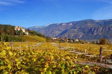
In order not to have to walk on the road, we take the meadow path on the left past some cypresses and we reach a spot where five cypresses line the pathway. There we take the path on the left until we reach a solitary house. There we keep right and continue always along the trail (leaving the road beneath) until we are almost in the district of Sella (Söll). The walking time from Termeno to Sella is approximately 1 hour and we have to manage about 130 metres in altitude. In Sella you can find a hotel (Plattenhof) and boarding houses. Alternative hiking route: From Termeno follow the Kalterer-See-Weg path (KS), at the crossroad you proceed towards the hotel Plattenhof (path SB). The path is not that difficult, but if you start from Castellaz (Kastellaz), you will have to descend the provincial road towards Termeno to return back.
Carefully consider weather and path conditions on site before beginning this hike!
-
- Starting point:
- Egna train station
-
- Time required:
- 02:00 h
-
- Track length:
- 6,9 km
-
- Altitude:
- from 210 m to 389 m
-
- Altitude difference:
- +172 m | -6 m
-
- Destination:
- Sella
-
- Recommended time of year:
- Jan Feb Mar Apr May Jun Jul Aug Sep Oct Nov Dec
-
- Download GPX track:
- An artistic hike, stage 1: Egna - Sella
If you want to do this hike, we suggest you to check the weather and trail conditions in advance and on site before setting out.
