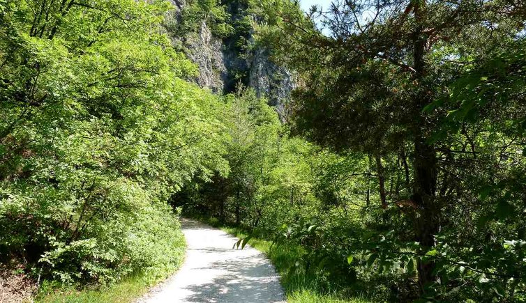
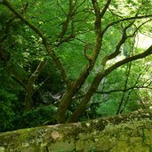
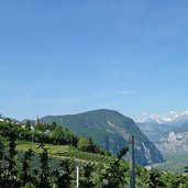
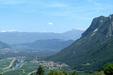
The first stage of the well-known Dürer Path leads through the deciduous forest above the Bassa Atesina area
Image gallery: Dürer Path, stage 1: Laghetti - Pochi di Salorno
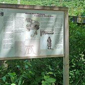
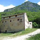
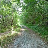
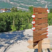
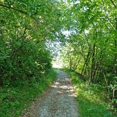
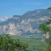
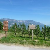
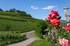
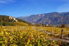
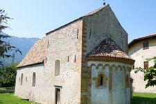
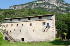
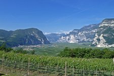
The starting point is hidden near the hydroelectric power plant of San Floriano north of Laghetti (Egna). On the first section the hike leads uphill past the old pilgrims hospice known as "Klösterle" through the forest to the village of Laghetti (Laag). On the southern edge of the village the signpost with Dürer's anagram "AD" indicates the way to the Amorthof farm. The asphalt road becomes a gravel path and finally an old ox cart track. Despite some steep uphill sections it is an easy path with a wonderful view on the Bassa Atesina area and the surrounding mountains - the landscape by the wayside suggests how it could have looked at Dürer's times.
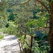
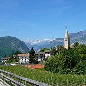
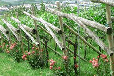
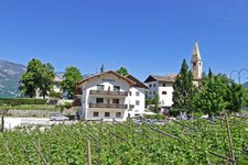
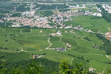
Finally the Dürer Path reaches the Valle del Rio Lauco valley (Laukental) - the Rio Lauco brook forces its way through the gorge down from Cauria. The trail continues over a Roman bridge and leads out of the valley and to a landscape characterised by vineyards to Pochi (Buchholz), the final destination of this first stage of the Dürer Path. The small hamlet is located above Salorno and belongs to the eponymous municipality. The way back follows the same trail. To return to the starting point, you can use the public bus line via Salorno.
Author: AT
-
- Starting point:
- San Floriano at Laghetti (near the hydroelectric power plant)
-
- Time required:
- 03:30 h
-
- Track length:
- 9,7 km
-
- Altitude:
- from 211 m to 565 m
-
- Altitude difference:
- +542 m | -334 m
-
- Route:
- Klösterle - Laghetti - Valle del Rio Lauco valley - Pochi
-
- Signposts:
- "Dürerweg / Sentiero del Dürer", AD
-
- Destination:
- Pochi (bus stop Pochi di fuori)
-
- Resting points:
- Perkeo, Grünwald
-
- Recommended time of year:
- Jan Feb Mar Apr May Jun Jul Aug Sep Oct Nov Dec
-
- Download GPX track:
- Dürer Path, stage 1: Laghetti - Pochi di Salorno
If you want to do this hike, we suggest you to check the weather and trail conditions in advance and on site before setting out.
