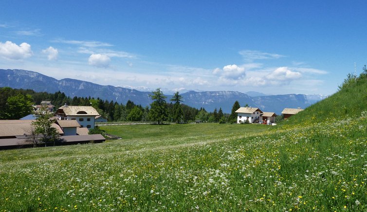
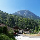
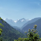
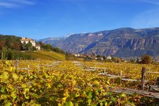
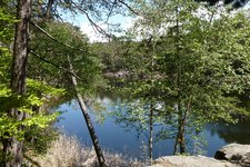
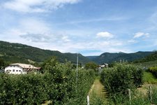
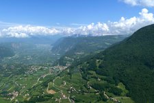
Spring hike from the hamlet of Doladizza (Kalditsch) to Aldino (1,200 m a.s.l.), a mountain village located at the foot of Mt. Corno Bianco
Image gallery: Hike from Doladizza to Aldino
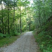
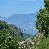
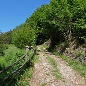
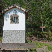
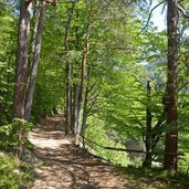
The Brückenwirt tavern, located at the junction of the Aldino road and the Dolomite road (right before the Aldino Bridge), is the starting point of our hike. We follow the signpost to Olmi, our first destination and after a 30-minute walk we descend into the Rio Nero Gorge where the small hamlet of Olmi (Holen) is located. We continue our hike on the path no. 10 steeply uphill at the slope towards Aldino (Aldein). The sunny day with it's mild temperature makes us sweat.
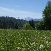
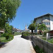
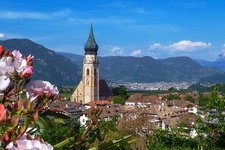
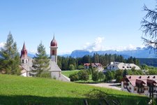
The steep trail gets flatter and continues towards north. The landscape dominated by deciduous forests changes quickly, coniferous forests characterise the area and at a clearing we stop for a break. At this point the first farmsteads of Aldino come in sight. Past the local sports ground we walk the last metres to the village and enjoy the view from the church hill. The way back follows the same trail. If you don't want to hike back, you can take the public bus to Doladizza.
Author: AT
-
- Starting point:
- Brückenwirt Tavern near Doladizza/Fontanefredde
-
- Time required:
- 03:50 h
-
- Track length:
- 10,8 km
-
- Altitude:
- from 628 m to 1.219 m
-
- Altitude difference:
- +595 m | -595 m
-
- Route:
- Doladizza - Olmi - Aldino
-
- Signposts:
- no. 19, 10
-
- Destination:
- Aldino
-
- Resting points:
- Ploner, Krone
-
- Recommended time of year:
- Jan Feb Mar Apr May Jun Jul Aug Sep Oct Nov Dec
-
- Download GPX track:
- Hike from Doladizza to Aldino
If you want to do this hike, we suggest you to check the weather and trail conditions in advance and on site before setting out.
