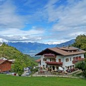
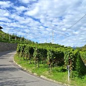
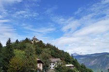
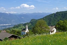
This round tour in late summer takes us to the area between 600 and 1,000 m a.s.l. above Andriano and Nalles
Image gallery: Hike from Sirmiano to Gaido
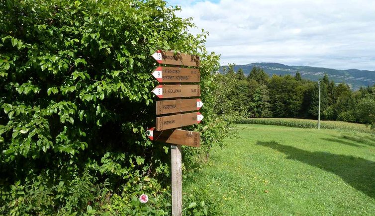
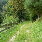
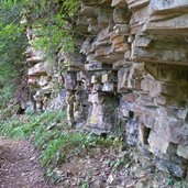
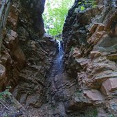
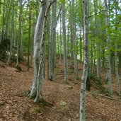
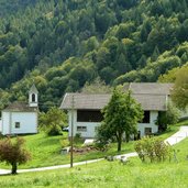
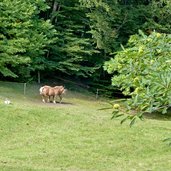
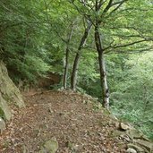
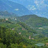
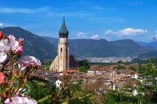
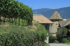
We start our summer hike opposite the parking space near the Sirmiano fire station (municipality of Nalles). On the first section the trail no. 9 leads past the small church uphill to Sirmiano di Sopra (Obersirmian) and further on to the lovely St. Apollonia Church. After a coffee break at the eponymous restaurant we follow the trail no. 8 slightly uphill through a landscape characterised by deciduous forests. Impressive are above all the gorges with the big fallen rocks from the Mendola Ridge. After some steep sections we reach the Tinnerhof farm and the hamlet of Gaido (Gaid) belonging to the municipality of Appiano. It is basically made up of the little Chapel to the Fourteen Holy Helpers and some farmsteads and offers an amazing view on Bolzano and the Dolomites.
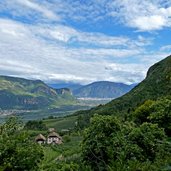
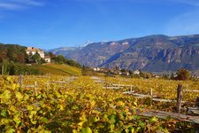
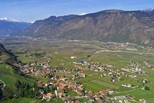
Afterwards the narrow Lerchsteig path proceeds to the Bittnerhof farm and back to Sirmiano. This easy hike proceeds through a beautiful forest landscape, but don't underestimate the uphill sections. If you want to do this walk in autumn, we recommend the morning hours because in the afternoon the area lies in the shadow of Mt. Macaion. The views on the Valle dell'Adige, the spa town of Merano and the Bolzano valley basin are simply breathtaking!
Author: AT
-
- Starting point:
- parking space near the Sirmiano fire station
-
- Time required:
- 03:20 h
-
- Track length:
- 9,5 km
-
- Altitude:
- from 600 m to 999 m
-
- Altitude difference:
- +435 m | -435 m
-
- Route:
- Sirmiano - Sirmiano di Sopra (St. Apollonia) - Gaido - Lerchsteig trail - Sirmiano
-
- Signposts:
- no. 9, 8, Lerchsteig, no. 5B, 9
-
- Destination:
- Gaido
-
- Resting points:
- Restaurant Apollonia, Jagerwirt, Moarhof, Bittnerhof
-
- Recommended time of year:
- Jan Feb Mar Apr May Jun Jul Aug Sep Oct Nov Dec
-
- Download GPX track:
- Hike from Sirmiano to Gaido
If you want to do this hike, we suggest you to check the weather and trail conditions in advance and on site before setting out.
