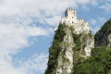
This walk takes us along the Vision Theme Path to the medieval castle above the village of Salorno
Image gallery: Hike to the Castello di Salorno
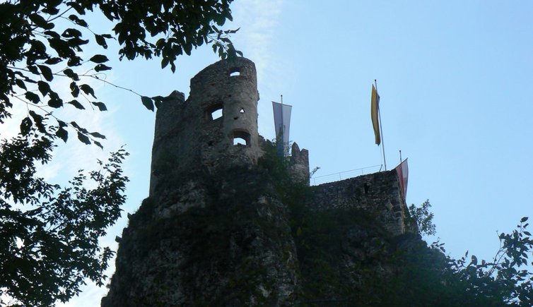
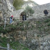
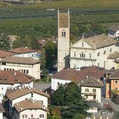
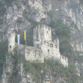
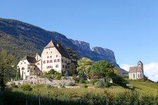
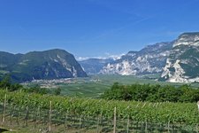
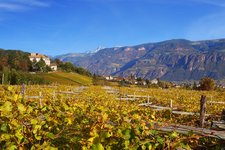
Salorno Castle, also known as Haderburg, is located high above the eponymous village. We drive to the big parking space at the Salorno fairground and start our hike following the main road for some metres (leading back to the village) and then turning into the Vision Path on the right ("Weg der Visionen"). A sign shows that the castle tavern is open at the time of our hike. The theme path leads slightly uphill in serpentines and offers some beautiful views through the treetops on the Valle dell'Adige valley and the Bassa Atesina area. We're hiking in the protected area of the Monte Corno Nature Park - now in autumn the nature shows all the abundance of colours.
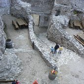
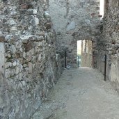
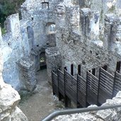
After a 25-minute walk we reach the mighty castle complex. Stairs and railings facilitate the entrance to the courtyard which is located slightly lower than the gate. First we'd like to discover the majestic building featuring characteristic elements such as a dungeon, a cistern and a donjon. They are still - or at least partly - preserved. Unfortunately the highest point of the tour, located between the rocks above the castle, lies in the shadow so we enjoy a last view on the valley and turn back to the castle tavern in the courtyard where we stop for some roasted chestnuts. Finally we descend to Salorno along the same trail.
Author: ED
-
- Starting point:
- Salorno fairground
-
- Time required:
- 00:50 h
-
- Track length:
- 2,1 km
-
- Altitude:
- from 210 m to 333 m
-
- Altitude difference:
- +124 m | -124 m
-
- Route:
- Salorno - Vision Path - Salorno Castle
-
- Signposts:
- Vision Path
-
- Destination:
- Castello di Salorno
-
- Resting points:
- Restaurant - Diciottesimo barile/Zum 18. Fass
-
- Recommended time of year:
- Jan Feb Mar Apr May Jun Jul Aug Sep Oct Nov Dec
-
- Download GPX track:
- Hike to the Castello di Salorno
If you want to do this hike, we suggest you to check the weather and trail conditions in advance and on site before setting out.
