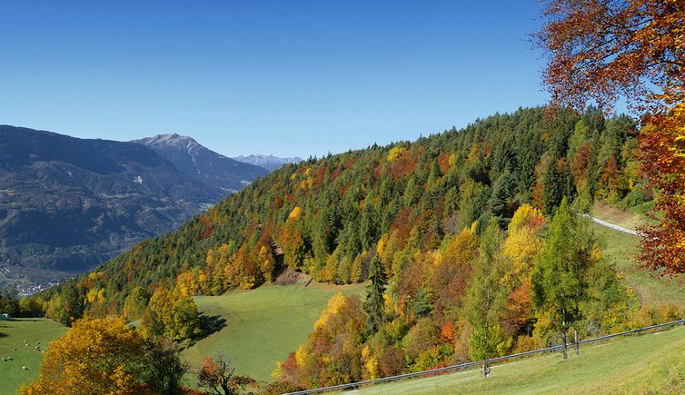
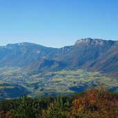
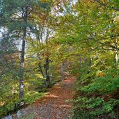
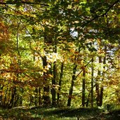
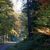
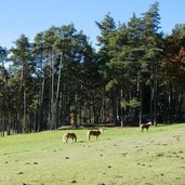
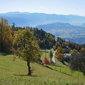
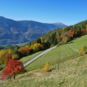
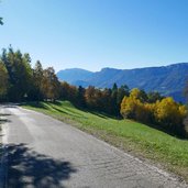
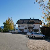
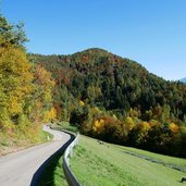
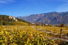
This circular walk near Cologna leads us to the ruins of the air defence site above Bolzano: In autumn, the broadleaf forest shines in all colours of nature
Image gallery: Hike to the Montalto Viewpoint
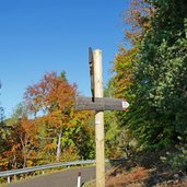
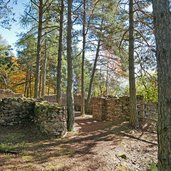
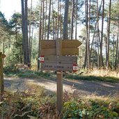
Our circular walking tour starts in Cologna (Glaning in German). Near the St. Martin Church a parking space along the road can be found (790 m a.s.l.) where we leave our car. We follow the path no. 5 which proceeds first along the asphalt road and then branches off on the right side of the road through the forest (marker 11, Flak). About one hour walking time is needed to reach the ruins of the flak site, where the anti-aircraft cannons were based during WWI.
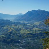
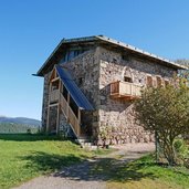
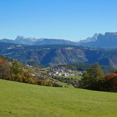
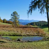
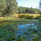
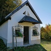
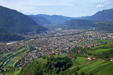
Protected by the wood, the place offers a gorgeous view across the Val d’Adige valley between Merano, Bolzano and Salorno. From here we follow the path no. 6B and 6 towards San Genesio and reach the meadows of the Steiflerhof farm after about 30 minutes. Behind the farmhouses a tower house built of stone can be found. It dates back to the 13th century and is unique in this form. We continue our hike slightly downhill to two ponds and take the path no. 5 towards the Plattnerhof (rest point). From there we start the last downhill section back to Cologna again.
Author: AT
-
- Starting point:
- Cologna (parking space near the church)
-
- Time required:
- 03:30 h
-
- Track length:
- 10,1 km
-
- Altitude:
- from 775 m to 1.227 m
-
- Altitude difference:
- +549 m | -549 m
-
- Route:
- Cologna - Flak (Alten) - Steiflerhof farm - Kreuzerhof farm (Cologna di Sopra) - Cologna
-
- Signposts:
- no. 5, 11, 6B, 6, 5, 9
-
- Recommended time of year:
- Jan Feb Mar Apr May Jun Jul Aug Sep Oct Nov Dec
-
- Download GPX track:
- Hike to the Montalto Viewpoint
If you want to do this hike, we suggest you to check the weather and trail conditions in advance and on site before setting out.
